Cycling Maps

Prudential RideLondon Surrey 100

  31st July 2016 09:00 – 31st July 2016 16:00   Tim from our drawing office is doing a sponsored cycle ride in July to raise money and awareness for London’s Air Ambulance. The Prudential RideLondon Surrey 100 celebrates the legacy for cycling created during the London 2012 Olympics. Prudential… Read More
What if you could make your own atlas?

Would you like to design a new A-Z atlas? If you could, would it be a street atlas, road atlas, outdoor activities map or something else entirely? A-Z is always looking to develop useful new map products. Recent releases have been as varied as the Adventure Atlases, smartphone… Read More
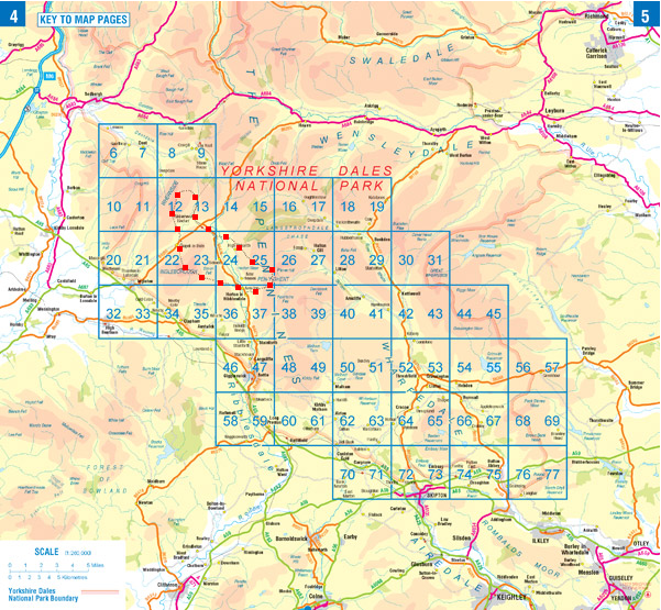
Yorkshire Dales map - overview showing Yorkshire Three Peaks route

Yorkshire Three Peaks | Yorkshire Dales Map

The Yorkshire Dales National Park is a place of outstanding natural beauty. It is home to sublimely scenic valleys, remote rolling hills, and some interesting geology, including limestone pavement and large cave systems. The variety of landscapes makes it excellent walking country. The highest points in the Yorkshire Dales are… Read More

Cycling in the North York Moors

The North York Moors is one of the largest areas of heather moorland in the United Kingdom. Cycling in the North York Moors makes for the perfect outdoor pursuit. The many miles of country roads, bridleways and forest tracks offer some great cycling routes. The North Yorkshire Moors National Park… Read More

About the Adventure Atlas Series

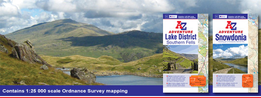
The A-Z Adventure Atlases provide accurate and detailed OS Explorer mapping in a slim book format. Walkers and other off-road adventurers can now carry their Ordnance Survey (OS) mapping in a convenient single indexed book, rather than as a large sheet map. In this week’s blog, we explore this new… Read More