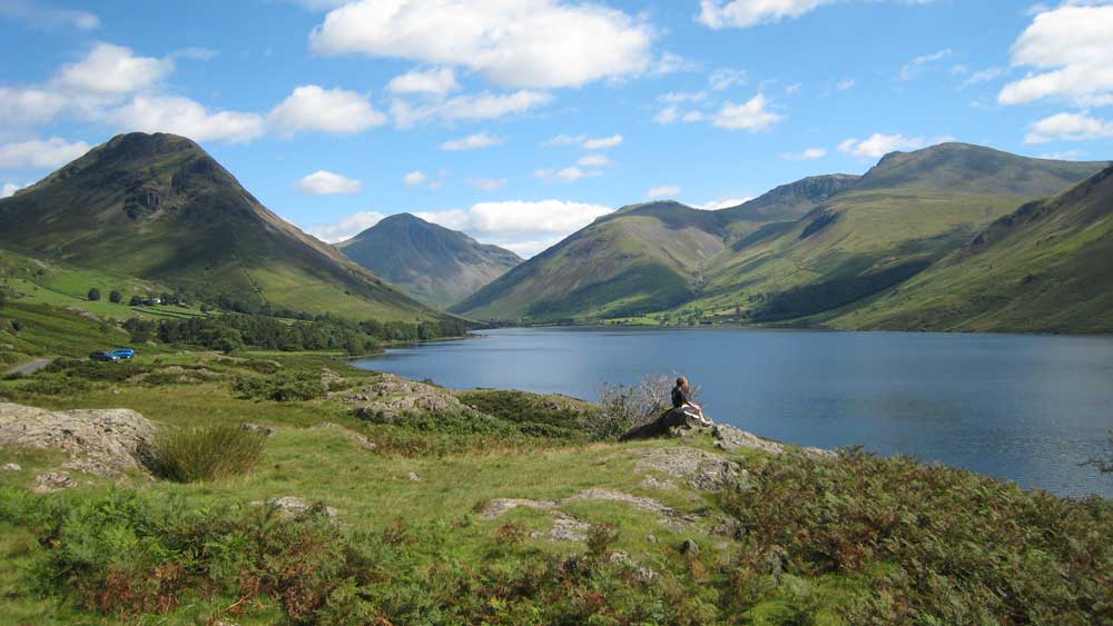
The Yorkshire Dales National Park is a place of outstanding natural beauty. It is home to sublimely scenic valleys, remote rolling hills, and some interesting geology, including limestone pavement and large cave systems. The variety of landscapes makes it excellent walking country. The highest points in the Yorkshire Dales are three millstone grit-capped peaks, rising to around 700 metres. The summits of Whernside, Ingleborough and Pen-y-ghent make up the renowned Yorkshire Three Peaks, which can be walked in a single day. This week we look at this famous feature on our new Yorkshire Dales map.
The Yorkshire Three Peaks
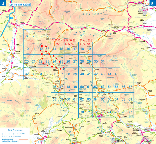
Established as a National Park in 1954, the Yorkshire Dales covers an area of 680 square miles of Yorkshire and Cumbria, including a sizable chunk of the Pennines mountain range. It is crossed from north to south by the Pennine Way, and hosts one of the most famous 1-day hikes in the UK, taking in the Yorkshire Three Peaks. We have even shown the route on the page guide for our Yorkshire Dales map.
Walking enthusiasts have devised the challenge of tackling all three hills in less than 12 hours. The circular walk covers around 25 miles and nearly 1600 metres of ascent and descent so this is no easy task. The walk will take you over various types of terrain and you may encounter unpredictable mountain weather conditions, so make sure you’re fully prepared before setting off. If you’re able to complete the walk within 12 hours then you’ll be invited to join the Three Peaks of Yorkshire Club and purchase exclusive accessories to reward your achievement. Completing the walk within any time frame is still an achievement in itself!
Choose Your Own Speed
Why not take up the challenge yourself? Many charity walking events take place each summer, making the most of the long summer days, so there is still time to enter. A more intense challenge for serious fell runners is the Annual 3 Peaks Race. The 59th instalment was held recently, and was won for the second year running by Joe Symonds. He completed the near marathon length course in a lung-bursting 2 hours 55 minutes.
Of course, you can always take in the scenery in a more leisurely fashion. That was the view of famous author and walker Alfred Wainwright, who wrote: “Some people have chosen to regard the walk as a race, and this is to be greatly regretted, walking is a pleasure to be enjoyed in comfort”.
Yorkshire Dales Map
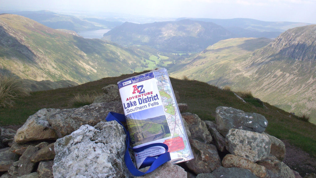
If you’re taking to the peaks then don’t forget to plan your route carefully and remember to take your Yorkshire Dales South A-Z Adventure Atlas. This Yorkshire Dales map covers the many stunning attractions of the southern dales, including Wharefedale, Malham Cove, and Ribblesdale. The map book uses detailed OS Explorer mapping, which is ideal for walking and other outdoor activities. The Three Peaks route fits almost entirely onto 3 double page spreads, making it easy to check your route. No more wrestling with a sheet map on the windswept summit of Ingleborough!