Would you like to design a new A-Z atlas? If you could, would it be a street atlas, road atlas, outdoor activities map or something else entirely? A-Z is always looking to develop useful new map products. Recent releases have been as varied as the Adventure Atlases, smartphone maps, and a set of official maps for the London 2012 Olympics. We don’t yet have a process where you can build your own product, although we do provide a custom maps service. But what is involved when designing a new atlas? This week, we give you a quick behind-the-scenes peek at some of the decisions that are needed.
What type of map is it? Who is it for?
Maps are usually designed with a particular use or set of uses in mind. Many of the decisions about the map scale, content and cartographic styles will flow from this. For example, a road atlas is designed primarily to help people navigate to distant places using the road network. The mapping will emphasize the roads and related features, but will also show the places most people are trying to find, as well as some general geographical context like hills or rivers.
What area does it cover? What is the map scale?
Map-makers use the term “extent” to refer to the real-world area covered by a map product. There is a basic trade-off between extent and scale: you can only show a larger real-world area on a given page size by making the mapping less detailed (smaller scale, more zoomed out). In other words, maps that cover just a small extent will be able to show a lot of geographic detail, and maps that cover a big area will show a more simplified picture. Map books usually use a single mapping scale on most pages, but also include overview maps of the whole area covered, and often more detailed maps of the busiest city centre areas.
What will be the format and physical size?
Map formats range from digital map products to sheet maps to books of various sizes and bindings. Our standard street atlas books are a portable, bag-friendly A5 size. However, we have recently set-up a special print-on-demand service so that customers can buy large format A4 versions of most of our street atlases. These are simple enlargements, making the map text even clearer and easier to read.
How will the pages be organised?
If the map has a book format, the number and extents of the pages need to be defined. This can be a complex process, and will often shape the overall extent covered. An interesting example is the walk-based Adventure Atlases, which now cover 7 of England’s best long-distance footpaths. These show mapping along the whole of a route such as the Pennine Way or Thames Path. These paths can be walked in either direction, but the page order has to start at one end, making some walkers work backwards through the book. For example, if you decided to walk the South West Coast Path books in order, books 1 and 2 would be used in this way, while 3, 4 and 5 would be used front to back.
What map content will be shown?
This can be one of the most interesting questions. Beyond the basic essentials like the transport network, place names, and the coastline, many people would have some favourite information they would like to show on their ideal map. You might be personally interested in finding nature reserves, pizza restaurants, historic buildings, or your preferred brand of supermarket, but the map-maker has to be selective in order to make a clear map. Read more about this in our post on What Is and Isn’t Shown on A-Z Maps.
What cartographic styles will be used to show the content?
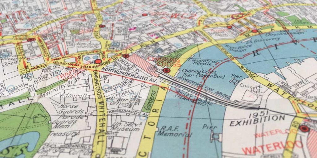
When creating an entirely new product range, there are vast numbers of choices to make about the symbols, colours, line widths, label fonts and so on that will be used on the mapping. In fact, most new map products are part of an existing product range and so thankfully they usually use an existing set of styles. The world is constantly changing though, so new symbols are regularly needed to show innovations like bike hire points, cable cars and congestion charge zones, to give just a few London examples. We discussed map styles in Why Are A-Z Maps So Easy to Read?


