If I introduce myself quite simply by explaining that in my sizeable shoe collection the majority of them have at least four inch heels, and the last time I voluntarily walked any great distance was circa 1990, you may begin to understand quite how appealing the thought of an Exmoor walk in mid-January to test the Adventure Atlas would have been to me.
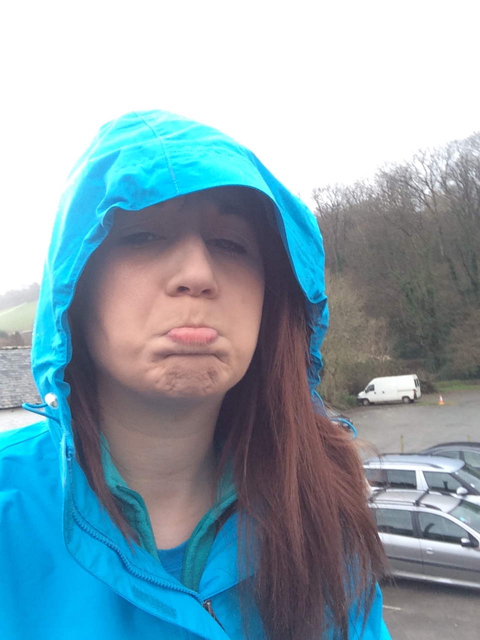
However, dedication to the role prevailed and last week I found myself checking into the beautiful Brambleside B and B in the heart of Combe Martin, just outside of Ilfracombe, North Devon with walking boots, water proofs, rucksack and Adventure Atlas at the ready. I’d resigned myself to the fact that I was quite obviously going to hate every second of the walk, even though my walking companion, seasoned pro Ellie Bennett assured me I might just surprise myself. Doubtful says I. So the morning arrives – cloudy and overcast but at least dry. This is a good sign I think to myself, excellent start to an Exmoor walk. Breakfast, dressed, head to the meeting point – heavens open. However, in the words of the great Phyllis Pearsall – on we go.

Off we went, up the hill to West Challacombe and then swam along (ok not swam but it was pretty wet by this point) to join the South West Coast Path (SWCP). Once we arrived under the peak of Little Hangman, after a while Ellie informed me that the area I was admiring below us was in fact the local nudist beach – moving swiftly on then…..
We started off up towards Great Hangman now, which at over 1000 feet is the highest point of the SWCP – the sudden drop in temperature highlighted this pretty clearly! Once at the peak it was windy, it was cold and I felt a million miles outside anything I could recognise as my comfort zone, but stopping and looking at the view and realising that actually, yes I can do this, all that seemed to melt away. Breath-taking scenery and a sense of achievement certainly work well together to spur you on let me tell you.

As if being given a little pat on the back, slowly but surely the weather improved and we were treated to a somewhat unexpected but gratefully received spell of sunshine. As we approached Sherrycombe, which genuinely appears so steep as if to venture down it will result in dropping off the edge of the planet, I was incredibly pleased it wasn’t raining – one false move and I reckoned that would be my lot! However once you get started heading down it’s nowhere near as bad as it seems and we successfully made it to the bottom and continued along Holdstone Down.
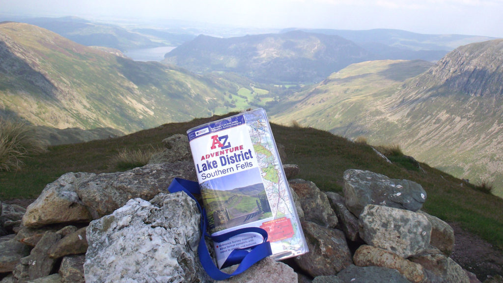
Now this is where the Adventure Atlas really came into its own. Due to the adverse weather Exmoor had been experiencing, the main routes one would normally travel when walking our journey were in a bit of a bad way so we had to be creative and find alternatives. These maps have every barn, every tiny unheard of lane, every footpath, every everything you could possibly need to find your way – they’re clear, easy to use and understand, and fill you with complete faith that they will indeed get you to where you need to go. The contour lines are accurate in their variations so you can estimate what to expect, the footpaths are clearly labelled and the tourist and leisure information is relevant and highly visible (excellent for planning rest breaks or pub stops!)
We continued along the permissive path across Trentishoe Down, through the woods and joined onto Ladies Mile. At this point I feel it important to highlight how absolutely essential good walking boots are. I was literally covered in mud from the knee down and had stepped in more deceptively deep puddles than I care to remember but were my feet hurting and wet? No, they absolutely were not. After doing some research, I bought the Salomon Womens Campside Manilla Mid GTX Boot from Cotswold Outdoors, and cannot recommend them highly enough. They were comfortable, supportive, completely waterproof, and excellent value for money. So a word from the novice – initial investment in decent boots will save you from a world of trouble. Advice session over.

On the home straight now and we joined the long steep lane which took us back to Combe Martin high street. The Pack O’ Cards pub we were aiming for to treat ourselves to a congratulatory pint was at the opposite end to where we were but high streets aren’t that long are they so no great issue. WRONG! Combe Martin high street stretches to just over a mile and a half end to end but I figured since we’d already walked around eight miles another one wouldn’t hurt – and didn’t that pint taste good once we got there!
So one 9.27 mile walk completed. Not only have I discovered that I actually quite enjoy walking but I have a new found respect for these Adventure Atlases and how reassuringly accurate and user friendly they are for walkers and explorers of all ages and levels of experience. Question is, would I ever do something like this again? Having just agreed to go on a work outing later in the year to walk in Snowdon I guess the answer is yes!