You might not know about them just yet, but our walking maps, the Adventure series, make the perfect companion for a day out in the hills
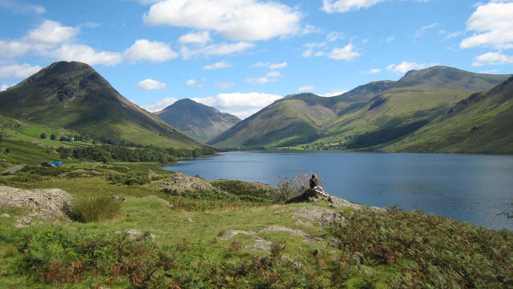
Anything that makes getting out into our spectacularly varied landscape easier is a good thing in our eyes, and our Adventure walking map books do just that. Compact, practical and economical, if you’re planning to escape to the countryside on foot, on, or in the saddle our new maps are ideal.

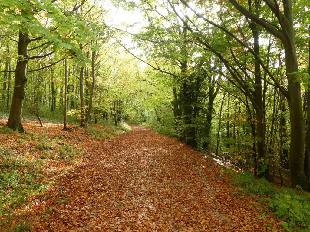
Yes, there are plenty of maps and guides for the great outdoors available, but our walking maps are concise and lightweight and they’re just as useful on a leisurely Sunday stroll as they are high up somewhere on a windy mountain summit. There’s no unnecessary clutter telling you where or where not to go so instead we simply leave the exploring up to you.
What’s inside…
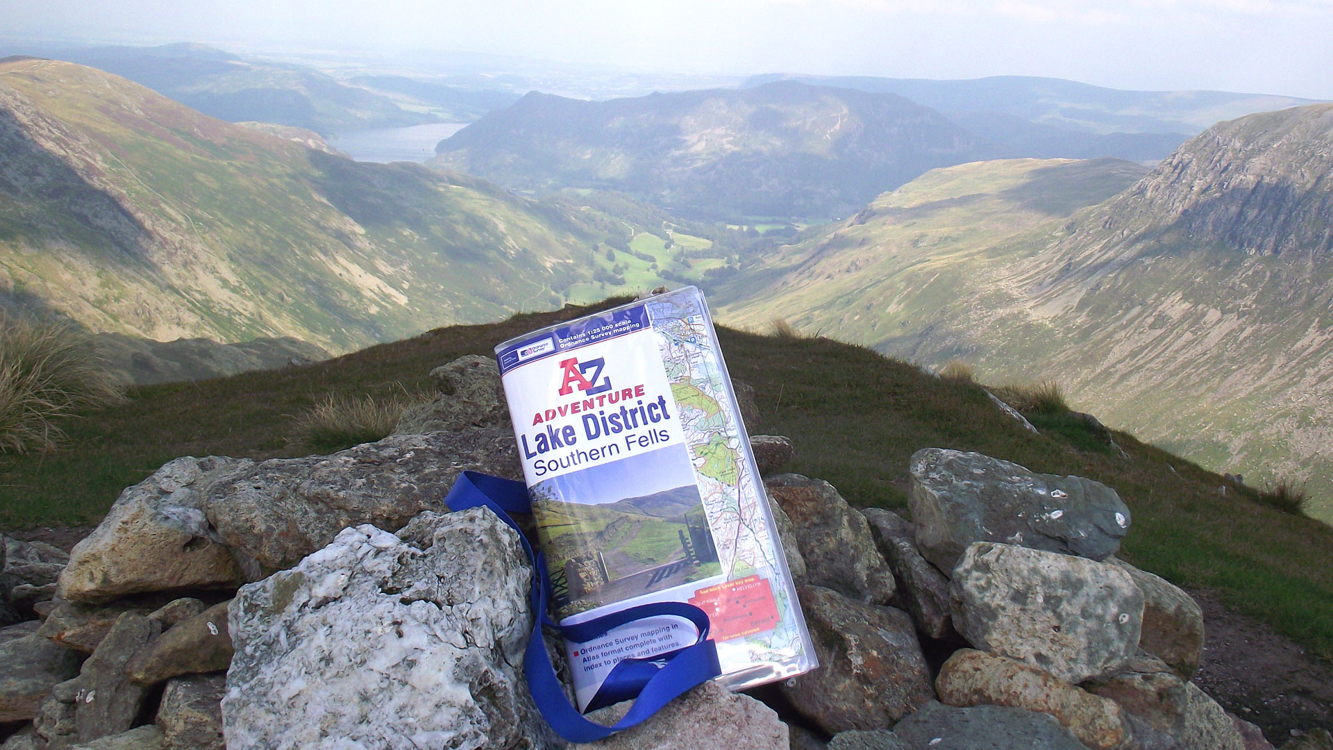
There’s 36 square kilometres of clear Ordnance Survey 1:25,000 mapping on every page and an index to make finding places easy. The walking maps are the same size as a folded OS map, so they fit easily into a map case (or map pocket) for when you need them most.
We haven’t reinvented the wheel here, we’ve just made using the great OS data outside a little easier. Have a look at our video above which shows how and where we think they work best.

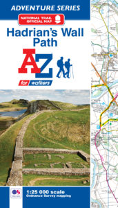
Our books cover most of the popular walking areas of the British Isles including the National Parks and long-distance trails. All the National Trails of England and Wales are covered and our close association with Walk Unlimited, the organisation behind the National Trails, shows that our maps are their navigational tool of choice for the thousands of people who walk these iconic trails every year. There’s a single book for each trail* with the route clearly shown making navigation easy.

Some people have already discovered them and here’s what they think…
‘I have just completed the Coast to Coast using the AZ Adventure atlas. First want to say what an excellent concept it is, ideal for a long distance walk’. – Gez.
‘They’re fantastic, I love the index and the book format. I wish I’d known about them before’. – Mr and Mrs Kay.
‘I have just finished the Pennine Way and the books are amazing!!! I never got lost and they are easy to transport and use’. – Katherine.
*The Pennine Way is covered by two books and the South West Coast Path in five.