Have you ever noticed that your A-Z street map shows public toilets, speed cameras, postcode districts, and even house numbers on main roads? On the other hand, have you ever wondered why your A-Z doesn’t show height contours, roadworks or the outlines of pavements? You could probably think of a few more things that you would personally find useful. This week we look at a crucial question facing every map maker: what real world features do I show?
The Greatest Good for the Greatest Number of Readers
We touched on this in last month’s blog on why A-Z maps are so easy to read. A clear map can’t be crammed with too much detail. Key features such as the main road network must stand out clearly. But what content to include? Roughly speaking, this comes down to usefulness: what information is the most useful for most readers?
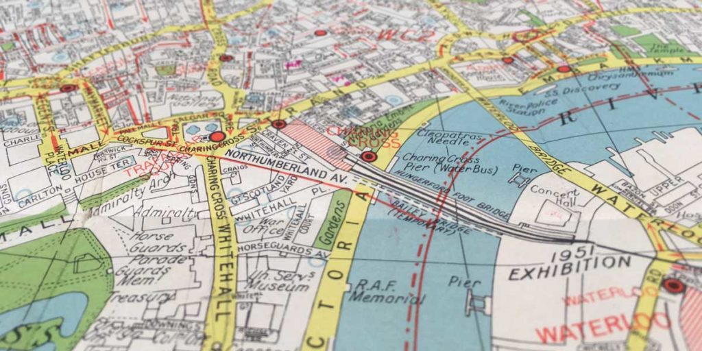
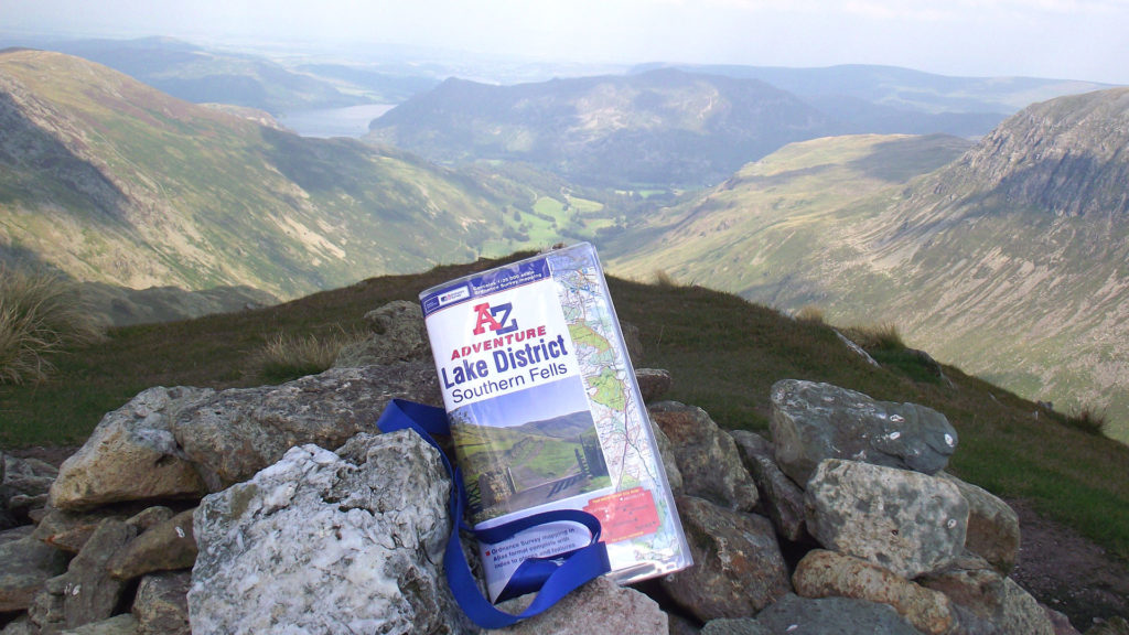
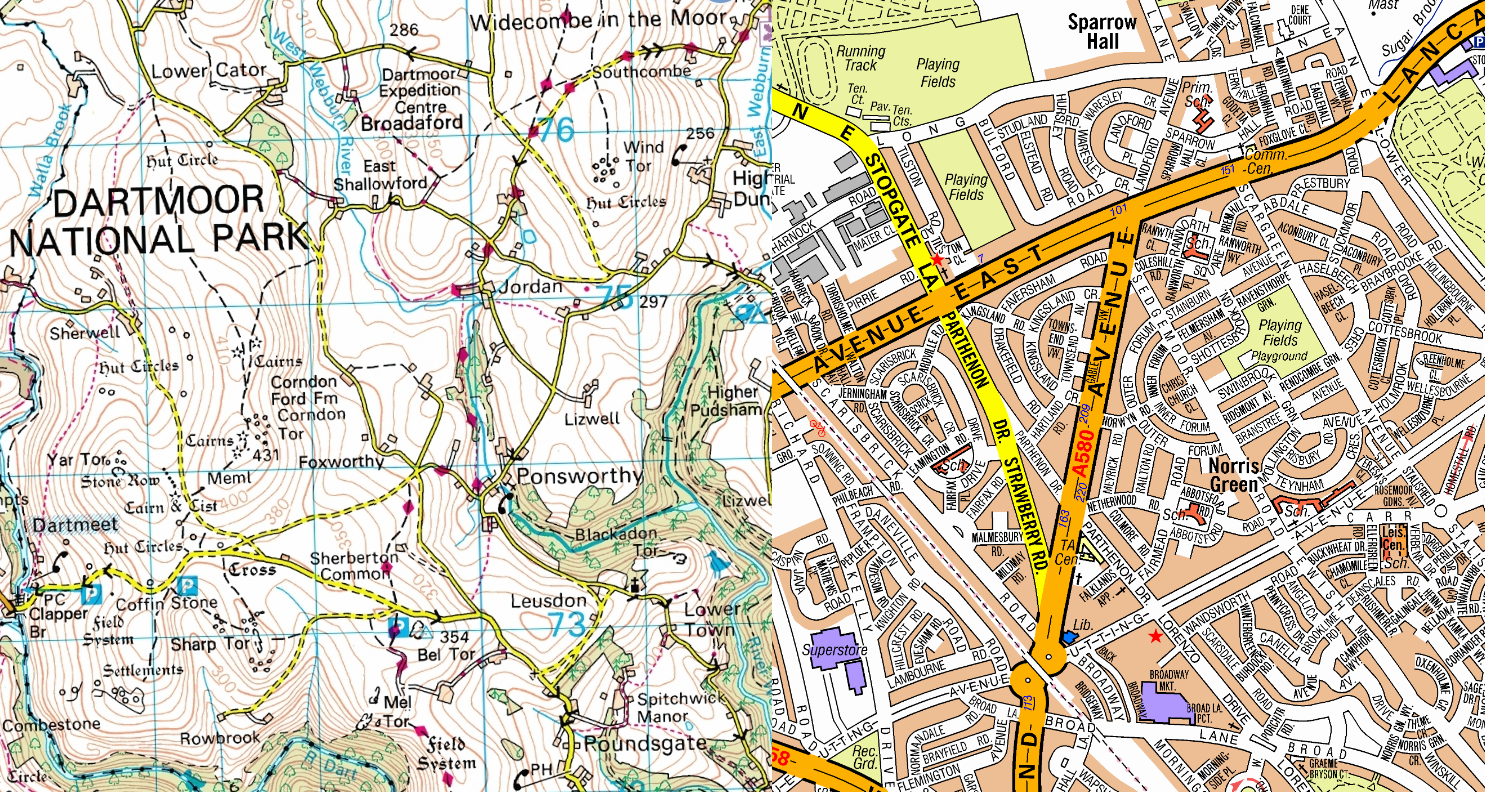
A good map is a rich resource that will be used in ways that the maker never imagined. However, it also has to be designed with its main uses in mind. For a street map, that includes navigation (using various modes of transport) and locating named streets or well-visited places. Much of the map content helps with these uses: a clear and well-labelled road network, stations, well-visited landmark buildings, one-way systems, main footpaths and more. Content showing the height and slope of the land would not help much, so it is better to leave it off of the street maps. On the other hand, contours are an important feature of the OS Explorer mapping used in our Adventure Atlases. These are designed for walkers and other outdoor activities and often cover remote, rural areas where navigationand orientation may rely on following the shape of the landscape.

It can be worth considering whether you are using a map for a suitable purpose. We once heard about a boat that got into trouble when the driver tried to navigate round the coast using the coastline shown on a street map. Marine navigation is one task that definitely needs specialist maps!
Map Scale
Another key concept is scale. Some of you might remember this from school geography classes, more or less fondly! The map scale determines what area of the real world is shown on each page, and therefore how much real-world features have to be shrunk down and simplified. You can see this by comparing pages from a UK road atlas and a local street map. On a road atlas, a whole village will often need to be shrunk down to a single dot. There simply isn’t space to show any more detail in a clear way. On a street map, the village will take up a good part of a page, with plenty of room to show features like side streets, parks and important buildings. Some features are too small to show on street maps, such as the complexities of pavements and on-road cycle paths.
Reliable Sources
In our blog on how A-Z maps are updated, we saw that A-Z strive to make up-to-date maps using the most trusted sources. This is another important consideration: we need reliable sources that we will be able to use to update our maps. Some real-world features might be useful to include but change frequently, meaning that the information might be out-of-date as soon as a new edition was published. Examples might include roadworks and some commercial premises.
Other Atlas Content
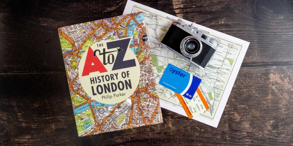
Most A-Z maps are still created as book products, and often ones that people carry around. This gives us another chance to make our map products an even more useful companion. A classic example is the handy tube map on the back of the London A-Z. The London A-Z contains various extra maps and a list of hospitals with phone numbers. The Adventure Atlases even include QR codes which you can scan with your mobile device to access up-to-date information like weather forecasts. Finally, the index is an important tool for finding where things are, so points of interest are included along with streets and place names.