Walking in the Peak District National Park can cater for many different tastes, with the contrasting landscapes of the White and Dark Peaks. It is easily accessible from Sheffield, Manchester and the Midlands and there is plenty for visitors to see. The contrast between quiet limestone dales and wild upland moors is a feature of many walks in this scenic region.
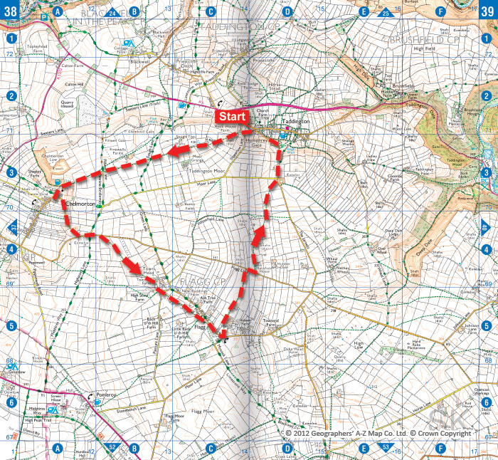
Chelmorton & Flagg from Taddington
This walk visits the White Peak villages of Chelmorton and Flagg. Starting from Taddington, the route crosses limestone country and offers an insight into three Derbyshire villages.
Taddington is just off the main A6 and has plenty of on-street parking. A good place to park is close to the cross roads in the centre of the village, quite close to the church.

Win Hill from Hope
This walk involves a rewarding climb of a Peak District hill, offering fine views into Edale. The ascent of Win Hill includes a stiff climb onto the ridge but otherwise this is an easy and relaxing walk.
Win Hill sits in a wonderful position near the village of Hope. The views from the summit are superb, supplying a panoramic view of Lose Hill and the Castleton Ridge, Edale, the moors of Kinder Scout, Ladybower Reservoir and the wild moors and edges of the eastern Peak District. The walk includes a variety of landscapes and does involve one section of fairly steep uphill walking. However, there are loads of excuses to stop and enjoy the view during the climb.
The start is the village of Hope, which lies on the A6187 between Hathersage and Castleton in the Peak District National Park. Parking is available on the south side of the A6187 and in other parts of the village. The village has a number of cafes, pubs and shops.

Saltersbrook and Lady Cross from Woodhead
There are many stunning walks in the northeast corner of the Peak District National Park. This walk combines a bit of local history with some typical Dark Peak walking and fine views, yet it can easily be completed in a half day. Although the underlying gritstone is hard and enduring, the thick layer of peat covering the area can be energy sapping. After heavy rain paths can be waterlogged, requiring frequent diversions into banks of drier heather. The best time for walking in winter is after a heavy frost.
The route starts at a small car park south of the A628 on the Trans Pennine Trail, close to the west entrance to the long-closed Woodhead rail tunnel.

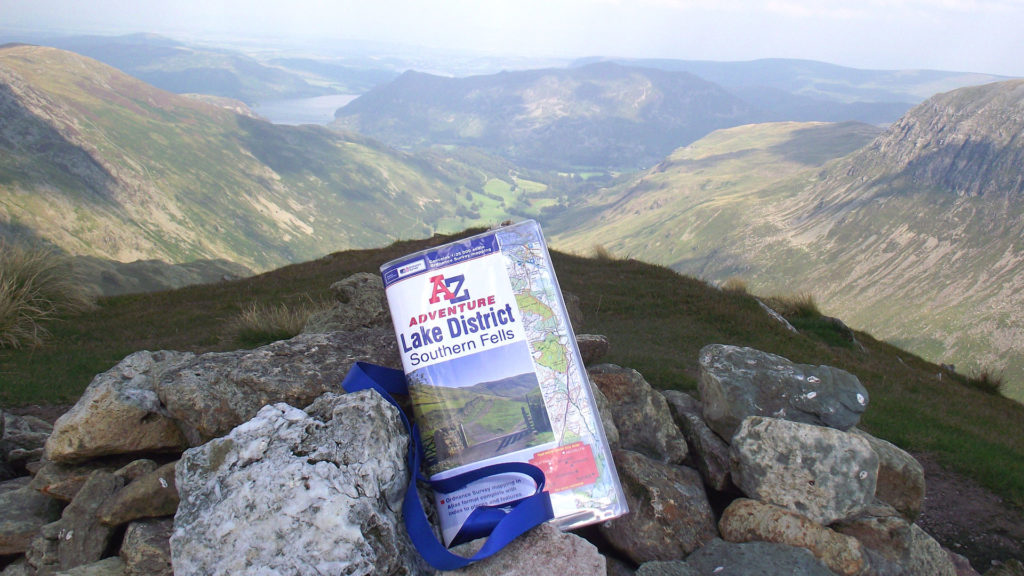
The A-Z Adventure Atlases make it easy to find your way round whilst walking in the Peak District, providing quality OS Explorer mapping indexed in an easy-to-use book.
Peak District – Dark Peak Adventure Atlas
Peak District – White Peak Adventure Atlas