The John Muir Way is a trail of 134 miles, linking Scotland’s west and east coasts. The route covers tremendously varied scenery as it winds its way across central Scotland from Helensburgh to Dunbar. The John Muir Way was opened as recently as 2014 and is unusual in that it has both designated walking and cycle routes. Whether completing the whole route in one go or visiting sections, the John Muir Way has something for everyone.
Why the John Muir Way?

John Muir was born on the east coat of Scotland in Dunbar in 1838. At the age of 10, he and his family left from the west coast of Scotland, bound for America. He became, amongst other things, a famous explorer, environmentalist, naturalist and geologist, but is primarily remembered for his fierce passion for the outdoors and a desire to protect natural beauty. He is widely acclaimed as being one of the founders of the American National Parks as a result of his lifelong quest to preserve wild places.
The John Muir Way long distance trail was opened in 2014 to coincide with the 100 year anniversary of the death of John Muir. The route links his birthplace, Dunbar, with Scotland’s first National Park, Loch Lomond and Trossochs National Park, before continuing to the west coast at Helensburgh.
The route of The John Muir Way
The John Muir Way is most frequently travelled from Helensburgh in the west to Dunbar in the east, so that the prevailing winds are behind you. The 134 mile (215 km) route was designed to be accessible to as many people as possible, to encourage people to be active and experience the great outdoors. The walk is regarded as an easy to moderate trail and the whole route would typically be completed in 9 – 11 days while cyclists would usually take half the time.

The whole route is clearly waymarked with directional signs for walkers and cyclists, i.e. an E indicates travel in an eastwards direction. The whole route can be completed as a cycle trail, with some waymarked sections specifically for cyclists to avoid the rougher walking sections. The cycleway signs are often incorporated in the blue National Cycle Network signs.

If cycling the John Muir Way, a mountain or hybrid bike is recommended to cope with the terrain and robust tyres and spare inner tubes in case of punctures would be a wise precaution.
Leaving Helensburgh in the west the John Muir Way passes coastal scenery and hills before reaching the beautiful landscape of Loch Lomond. The route continues eastwards along old roads, canal paths and disused railways through the heart of Scotland before reaching the outskirts of the capital city. After passing under Edinburgh’s Forth Bridge the route continues on through coastal East Lothian before concluding at Dunbar on the east coast of Scotland.
Attractions of The John Muir Way

In addition to the beautiful and ever changing scenery, there are numerous attractions well worth stopping at and exploring. We have selected a small selection among the many fascinating things to do on the route;
- Falkirk Wheel – the world’s only rotating boat lift, connecting the Forth and Clyde canals.
- Glengoyne Distillery – a whisky distillery offering guided tours and tastings, located at the foot of Dungoyne Hill near Loch Lomond.
- Antonine Wall – the remnants of the historic wall dating back nearly 2000 years that marked the northerly frontier of the Roman Empire.
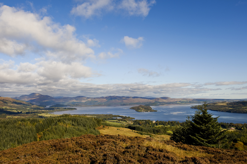
- Loch Lomond – the perfect place to enjoy beautiful views, a wide range of activities or to simply relax on the shore.
Highest Points along The John Muir Way
There are several opportunities to climb on this route to get stunning views of the surrounding landscape. The highest point of the trail is the 277m Gouk Hill near Helensburgh. The Hill fort sites of Bar Hill and Croy Hill are approximately 150m above sea level and are found near Kilsyth.

In Edinburgh, the famous Arthur’s Seat is a short steep climb with excellent views in all directions from the vantage point 251m above sea level. Moving further east, North Berwick’s Law ( Law being a lowland Scotland name for hills ) is a 187m climb just outside North Berwick.
Wildlife
As one would expect when in such a beautiful area, there is a chance that you may see some wildlife on route. Depending on the season and time of day, otters have been seen on

the Clyde while kestrels and other birds of prey are common along parts of the route. Grey seals can be seen at South Queensferry while the wetlands near Prestonpans can be excellent for viewing wading birds at certain times of the year. The North Berwick coastline is inhabited by a large variety of seabirds and the East Lothian Coastal areas are home to deer and hares.
Practicalities
It is easy to reach the start and finish points by public transport. Helensburgh has good bus and train links to Glasgow while the public transport links from Dunbar to Edinburgh are excellent.
There are many places to stay along the route and several holiday companies who will help arrange your trip or transport luggage while you make your way between overnight stops.

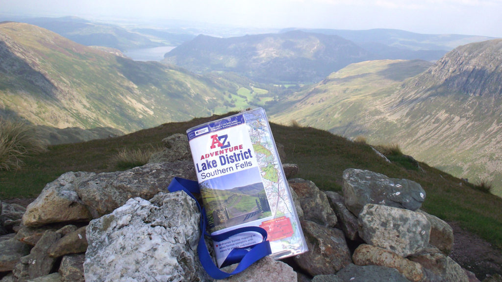
The whole route of the John Muir Way is covered in the John Muir Way A-Z Adventure Atlas, using the famous OS 1:25,000 scale mapping so beloved by walkers. Alternatively, 6 OS explorer sheet maps cover the route (OS OL38, 348, 342, 349, 350, 351).
For more information on planning your trip to The John Muir Way, visit http://johnmuirway.org

Featured image at top of this article is “View of Loch Lomond on The John Muir Way (©Becky Duncan / Open Aye c.i.c)”