One of A-Z’s biggest challenges is keeping our maps up-to-date. Maps need to be an accurate representation of the real world but, as Heraclitus said, change is the only constant. Some changes are very obvious like a new bypass, housing estate or hospital. However, there are many more small changes happening all around that need to be reflected in A-Z maps, such as small housing developments. Sometimes the physical landscape doesn’t even change, just a name or a traffic restriction. A-Z have to identify these constant changes and update our maps accordingly.
Finding Out About Changes
The first part of the process is called change intelligence. A-Z don’t send out armies of surveyors onto the streets. Instead, we are licensed to use data that is already gathered that way. The challenge is to combine these different sources – along with a solid dash of human intelligence – to get a precise picture of an area.
Our biggest single source is the national mapping agency, the Ordnance Survey (OS). The OS is a government agency that is tasked with surveying and mapping Great Britain at various levels of detail. Their most detailed data, OS MasterMap, forms the backbone of many of A-Z’s products. The OS employs several hundred surveyors to capture the precise locations and names of things, although it increasingly uses photographs taken from a plane. Real world changes can be spotted by comparing new and older aerial photographs.
The aerial and foot surveys are part of the OS’s own change intelligence processes. They aim to capture major new schemes before they are even open to the public, whereas minor landscape changes like the reshaping of a wood are only picked up when an area is checked in their continuous revision cycle. The updated OS database is sent to A-Z so changes can be identified and recorded in our own mapping database. However, we can’t just rely on this source to make sure our maps are accurate and up-to-date.
We work with a wide range of other public and private sources to identify important changes. Helpfully, local authorities and government departments give access to plans, so we can see how an area will change before the work is even completed. Important sources include Borough and County Councils, the Highways Agency, the Department for Transport, the NHS, and the London Fire Brigade. Many organisations provide this information freely, but sometimes we need to buy commercial datasets, as with speed cameras and petrol station locations.
Occasionally it is hard to know the exact status of a development scheme, and we need to go out and check exactly what has been built and where. This “ground research” makes a pleasant change for map makers who otherwise spend most of their time sitting at a desk!
Updating the Maps
Our mapping is stored as a set of computer files, each covering a small area. The files are updated whenever a new edition is published for that area. Skilled cartographers have the job of interpreting the change information and making changes to the map. This human involvement is essential, and A-Z’s maps wouldn’t be as clear and trustworthy without a careful process of checks. A map is a simplified picture of reality, and the cartographer has to try to show the real-world situation as clearly as possible. We will come back to this in a future blog post.
Finally, some updates also need to be reflected in the important index at the back of the atlas (or the search function in digital mapping applications). In the early days of A-Z, this was a laborious process involving huge numbers of index cards. Thankfully, it is now stored in a database and the extraction of a publication index is mostly automated.
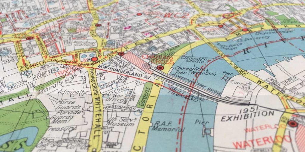
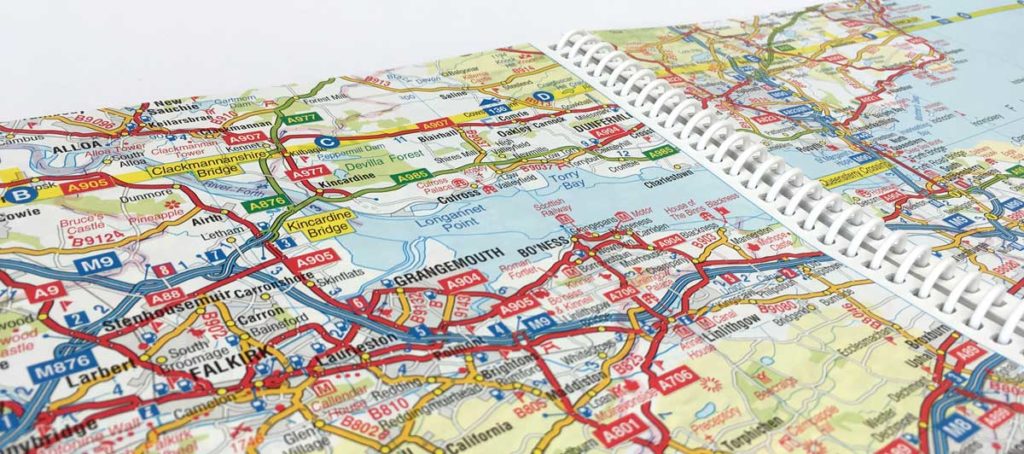
A-Z products cover all of Great Britain at various scales. It would not be possible to update our whole mapping database continuously, so the update cycle is based on the publication of new editions. The London area gets closest to constant revision due to the number of A-Z products that cover some part of the capital. Some people may not realise that all map producers need to take this kind of structured approach in updating their maps. Just because a map is viewed over the internet or through a sat nav, it doesn’t mean that the mapping is somehow updated as soon as any change happens in the real world. This is shown by cautionary tales like the Spanish driver who followed their sat nav directions straight into a new reservoir.
The New A-Z
At the end of all this work, it is a delight to send a new A-Z edition off to be printed. By showing accurate, up-to-date information in the famously clear A-Z mapping style, we hope your new A-Z will remain a reliable companion for many years to come.