We are delighted to have been chosen as the official mapping partner by Walk Unlimited to produce maps for the National Trails of England and Wales. There are 16 long distance paths that have been designated as official National Trails across England and Wales. A number of official maps will be released during 2017 with the aim of mapping all of the National Trails as soon as possible.
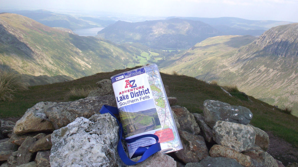
As part of the Adventure Series, we will plot the official National Trails routes onto the iconic Ordnance Survey 1:25,000 scale mapping. These official titles will be in a convenient, easy to use, OS map sized, booklet format. Each Adventure Series atlas comes with an index of towns, villages, natural features and places of interest as well as useful QR codes and links to websites including official updates and temporary route diversions.
The England Coast Path is the longest National Trail and will open in sections with the whole coast scheduled to be completed by 2020. Some sections of the England Coast Path will be covered by maps highlighting the official route on OS mapping and showing the newly created open access areas, giving everyone the legal right to explore the coastline.
We are an established map publisher whose Adventure Series of Maps and Atlases contain OS mapping and are designed for walkers and those that love the great outdoors. A recent customer reviewer said;
‘They’re fantastic, I love the index and the book format. I wish I’d known about them before’. – Mr & Mrs Kay, June 2016.
Walk Unlimited are a non-for-profit company dedicated to supporting and encouraging people to walk more. They work with agencies ranging from central government to public health bodies and charities and are responsible for promoting and maintaining the National Trails of England and Wales.
We are truly delighted and excited to be working closely with a company that is so dedicated to getting out into the great outdoors.