As Apple launched their new mobile mapping app with the update to iOS 6, few of us would have expected as much discussion around the subject as there has been. Tim Cook, Apple’s CEO even went so far as to recommend a range of competitors’ mapping applications as alternatives.
The launch of Apple Maps and the feedback so far certainly goes to show how difficult it is to build a reliable mapping database. Although the Apple Maps data is based on a variety of sources, it mainly uses data from TomTom whose main business is supplying sat nav systems.

The way mapping is used on a mobile phone or tablet is different to the use of sat navs where getting from ‘a to b’ by the quickest route is the primary concern. Mapping on mobile devices is partly about navigating, but it is also about understanding an area and finding out what’s nearby such as places to visit (e.g. galleries or local parks) or public transport stops. Ensuring that these types of locations are accurately positioned on the mapping is a critical issue for the user. This is something that Apple will be working hard on over the next couple of years
These issues are certainly something that we at A-Z Maps fully understand. The development of detailed and accurate mapping databases has been at the heart of our business since we were founded in 1936. At the heart of any mapping product, whether it is a printed map, a web map or a mapping application for a mobile device, is the comprehensive mapping database which takes time and investment to create.
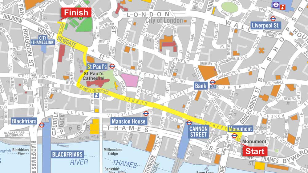
We utilise these mapping databases to publish our famous A-Z paper atlases, but we are also now publishing our mapping in digital format for web and for mobile applications. There will potentially always be a place for contiguous mobile mapping of the world. However, through our mobile mapping apps available for Apple, Android and Windows devices, mapping of London has never been so comprehensive.
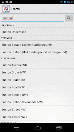
Our most recent mobile mapping app launch was the Greater London app for Android which complements the versions already available for Apple and Windows Mobile devices. It covers the whole of Greater London at street level, in the detailed A-Z style that is so iconic. Like the Apple and Google mapping apps, it allows GPS location tracking plus location and point of interest search functionality. In fact, the mobile mapping app contains thousands of points of interest, all entirely searchable and accurately geolocated.

Along with the mapping quality available on the A-Z apps, what sets them apart from the major mapping apps is the ability to use the mapping whilst not connected to the internet, meaning no data charges when navigating the city. It’s all there for you when you need it.
So if Apple Maps or Google maps just aren’t doing it for you, then check out our range of mobile mapping apps.